
And why you should learn it in college
Maybe you heard of GIS from a friend. Maybe a councelor told you it would be a good skill to have before you graduate college. Maybe you have a friend that is a GIS major and their explanation was still confusing. For whatever reason, you find yourself here, looking for some clarification. Thank you for letting me be your guide.
What is GIS?
I’ll start you with this statement- “If Google is the what and Facebook is the who, GIS is the where”
Geographic Information Science (GIS) is the study of maps and geographical information. Essentially most maps you have looked at in your lifetime were created using a set of cartographic principles and GIS software. Although GIS is so much more than making maps, it is maybe the most visible and important component of GIS.
Going beyond a standard reference map, GIS is used to conduct spatial analysis. Anything you document that has a unique space on this earth can be compared to other things. Some examples of things that can be compared are: people in different counties, counts of whales in oceans, types of restaraunts in cities, nesting areas of birds in a jungle… we could go on forever.
So, as you may have noticed, GIS is a method of studying things (data) in an area (spatial extent) in order to understand that area better.

Why should I take GIS classes in college?
So now that you know the basic jist of GIS, you might be wondering whats in it for YOU or why its a good tool to learn.
Data is everywhere in our current day in age. Much of this data has a spatial component. GIS provides a tool in which you can store this spatial data, see patterns, predict outcomes, and ultimatley understand how things interact with the space that they are in. GIS is quite literally everywhere, and it can help you learn about almost all sectors of life.
It should come as no surprise that there is a high demand in the US and internationally for GIS skills in academia, government, private industry, and anything in between. But dont take my word for it. Google “GIS job listings” and see for yourself.
Jobs aside, you should take GIS classes in college for a more important reason.
Have you ever seen something and thought “why is that there?” or “how long has that been here?” or “will this be different when I return?” GIS is the tool you use to solve those questions.

I can’t take college classes, where do I start?
GREAT question!
If you are a student and you dont have access to classes or dont have the time to talk a class- have no fear! ESRI, the world leader in GIS software, allows all students a free license. This is a huge deal.
Get in touch with your geography department and tell them you want a GIS license. Once you have the software, or have access to a computer lab that has the software, dive into the HUNDREDS of free tutorials in the ESRI libraries.
Now, if you’re not a student, you can still get free GIS software, although it wont be ESRI software (which is what a majority of GIS professionals use). There are open source GIS softwares (like QGIS) and tutorials for those as well.
My final suggestion would be to ask your job to assist you in learning this skill.
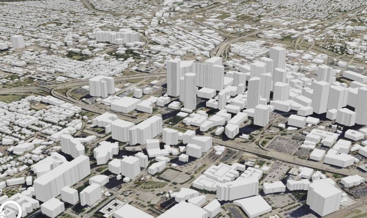
Some examples of GIS
Every year, the ESRI has a conference in which there are multiple competitions for the map gallery. Browse through some of the winners from 2019 here.
Now heres a dump of storymaps. These are a method in which GIS analysis is presented in a user friendly application. They exsist on a whole bunch of things, like volcanoes, refugees, art in western europe, coastal ocean ecosystems, and indigenous territories.

Not won over yet? I encourage you to look into a million other sources of information for more elaboration on GIS and its applications. THIS is one of my favorite resources.
Feeling inspired? YES! My job here is done. Please think seriously about pursuing spatial science and GIS to better this beautiful earth and the people on it. Have questions? Want to know about what I do? Need help with starting? Shoot me an email! All my contact info is on my About Me page.
