Paige Hoel, Ph.D. Atmospheric and Oceanic Sciences
Coastal Oceanography
I have always been fascinated with coastal ocean systems. The majority of my PhD focused on analyzing nitrogen utilization within the Southern California Bight (SCB), specifically investigating the impacts of anthropogenic nutrients on these delicate ecosystems.
Suitability Mapping
My experience in suitability mapping was honed through my dissertation, where I developed a comprehensive suitability map for macroalgal farming in the SCB. This work helped identify optimal locations for sustainable marine farming practices.
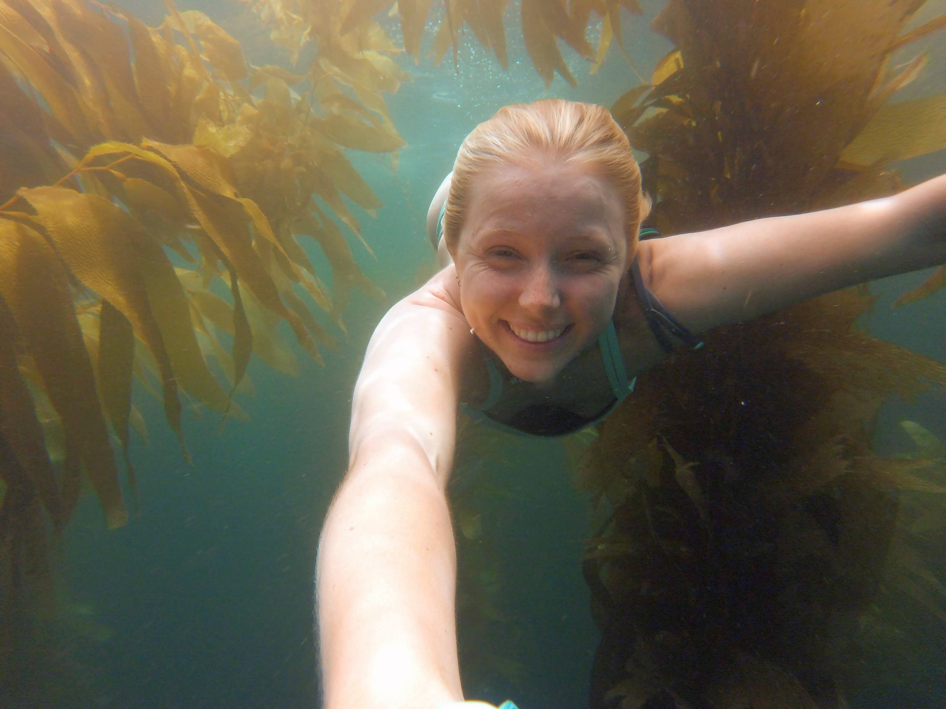
Macroalgae
The distribution of giant kelp in the SCB is a central focus of my research. Using advanced biogeochemical models, I study the nutrient dynamics that sustain kelp forests and assess how anthropogenic nutrients impact these vital ecosystems during periods of environmental stress.
Geographic Information Systems
My research is deeply rooted in the use of advanced spatial statistics and Geographic Information Systems (GIS). These tools are integral to my work in environmental analysis, enabling me to visualize and interpret complex spatial data to address key ecological questions.
Selected Presentations and Publications
- Hoel, P., Bianchi, D., Cavanaugh, K., Freider, C. Anthropogenic nutrient sources influence kelp canopies during a marine heat wave. Marine Pollution Bulletin (in revision)
- Hoel, P., Morreno, A., Bianchi, D. 2024. Mechanisms controlling lower trophic ecosystem response to ocean outfall discharges: role of nitrogen form and freshwater volume. Regional Studies in Marine Science, 103739. https://doi.org/10.1016/j.rsma.2024.103739
- Hoel, P. “The Blob, the Kelp, and Us.” OCEAN OBSERVING IN CALIFORNIA: Celebrate the Past, Showcase the Present, Envision the Future, 14-16 May 2024, Catamaran Resort Hotel and Spa, San Diego, CA. Conference Presentation.
- Hoel, P. The human-kelp connection: are we impacting the spatial patterns of kelp in Southern California? Oral presentation (invited), UC GIS Week Conference, November 17, 2022
- Hoy, S., Peliks, M., Freitas, D., Gillespie, T., Wilkins, C., Hoel, P., … & Egan, K. (2022). Mapping Data Acquisition and Processing Summary Report: EX-22-03, Puerto Rico Mapping and Deep-Sea Camera Demonstration (Mapping and Tech Demonstration).
- Hoel, P., Fredston, A., Halpern, B.S., 2022. An Evaluation Framework for Risk of Coastal Marine Ecological Diversity Loss From Land-Based Impacts. Front. Mar. Sci. 9, 796050. https://doi.org/10.3389/fmars.2022.796050
- Boehnert, J., Dobson, G., and Hoel, P. 2020. GIS Tutorial for Atmospheric Sciences. UCAR and UNC-Asheville, Online at: https://gis.ucar.edu/
- O’Lenick CR, Baniassadi A, Michael R, Monaghan A, Boehnert J, Yu X, Hayden MH, Wiedinmyer C, Zhang K, Crank PJ, Heusinger J, Hoel P, Sailor DJ, Wilhelmi OV. A Case-Crossover Analysis of Indoor Heat Exposure on Mortality and Hospitalizations among the Elderly in Houston, Texas. Environ Health Perspect. 2020 Dec;128(12):127007. doi: 10.1289/EHP6340. Epub 2020 Dec 10. PMID: 33300819; PMCID: PMC7727721.
- Hoel, P., What risks do coastal oceans face? Storymap presentation, ESRI User Conference, San Diego, CA, July 6, 2019
- Hoel, P., Risk of change to Coastal Ecosystems: adapting a runoff analysis framework to GIS, Oral Presentation, Association of American Geographers Annual Meeting, Washington DC, April 4, 2019.
- Wilhelmi, O.*, A. Sarzynski, W. Goszczyński, M. Wróblewski, I. Nichersu, D. Balaican, M. Tye, P. Hoel, P. Laborgne, J. Wendel, 2019. Building Capacity for Integrated Governance at the Food-Water-Energy Nexus, Oral Presentation, Association of American Geographers Annual Meeting, Washington DC, April 4, 2019.
